Project
FPA-FOD Wildfire Ignitions
Oct 16, 2026
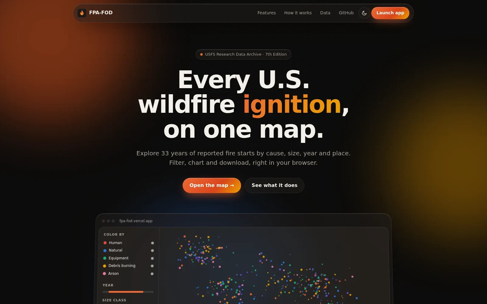
An interactive map of U.S. wildfire ignition points from the Forest Service’s Fire Program Analysis Fire-Occurrence Database (FPA-FOD), 1992 to 2024. You can color, filter, and chart fires by cause, year, size, owner, agency, and place.
It runs in the browser with MapLibre GL JS and a PMTiles file, with no backend. Views live in the URL so they can be shared, and DuckDB-WASM powers exact counts, charts, and CSV, GeoJSON, and Parquet exports that carry the dataset citation.