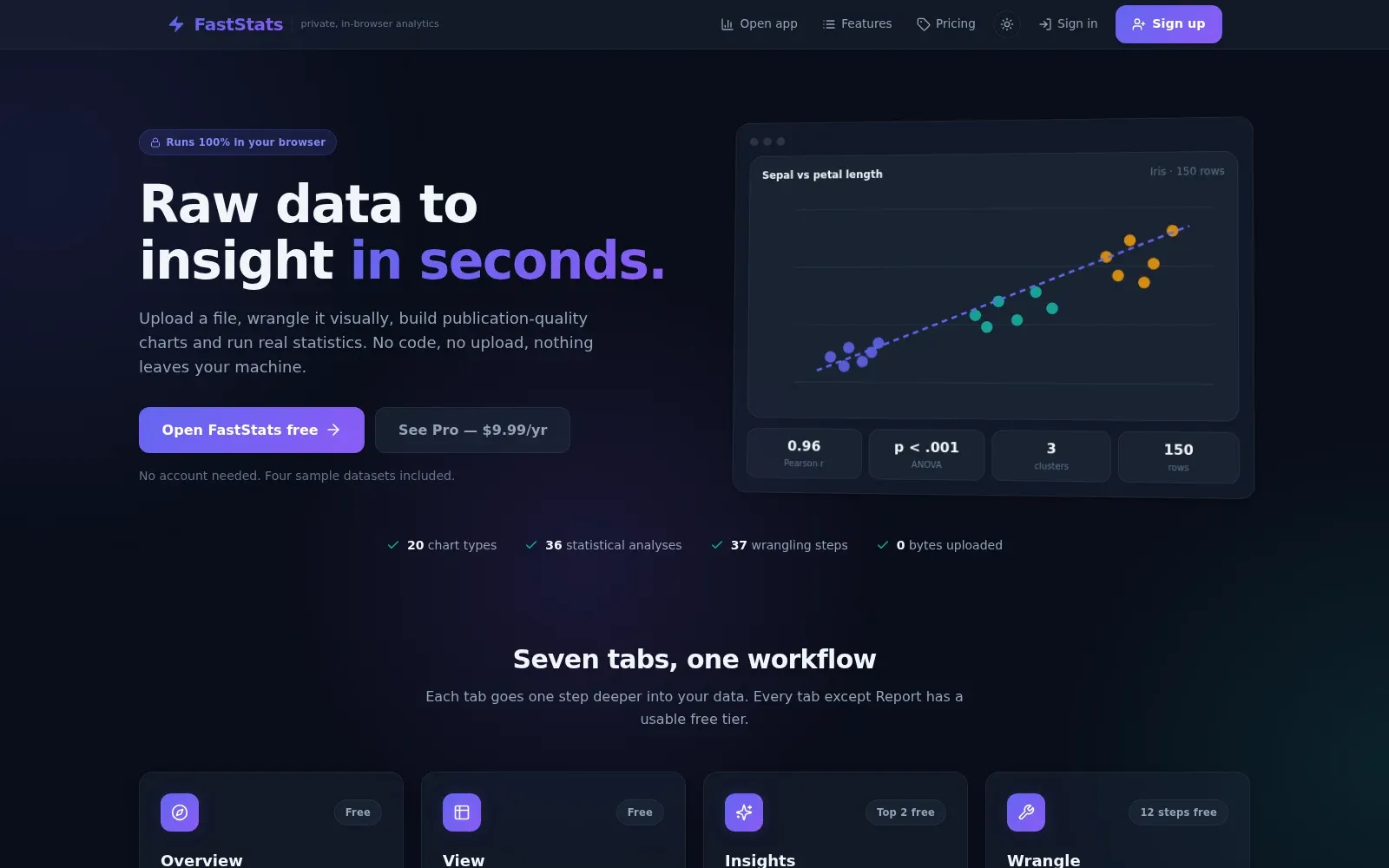
 FastStats
Spatial analysis.Real insights.
I turn satellite imagery, fire perimeters, and messy field data into models people can actually decide something with — mostly around wildfire risk in the wildland-urban interface.
- Papers & Talks
- 31+
- Years Research Experience
- 8+
- Tools Mastered
- 20+
- Featured Projects
- 6
Research
Six focus areas, from WUI wildfire risk to species distribution modeling — with the papers behind each.
Tools & maps
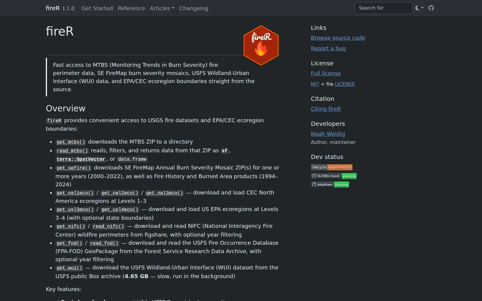
Open tools: an R package for U.S. fire data, Earth Engine apps, interactive map galleries.
Writing
Tutorials and notes on R, spatial workflows, and doing reproducible research in the open.
Research areas
Where I focus my work.
Earth Observation
Seeing change from orbit.
Multi-temporal satellite imagery turned into measurable change — classification, spectral indices, and time-series analysis at landscape scale in Google Earth Engine.
Imagery AnalysisGoogle Earth EngineChange Detection
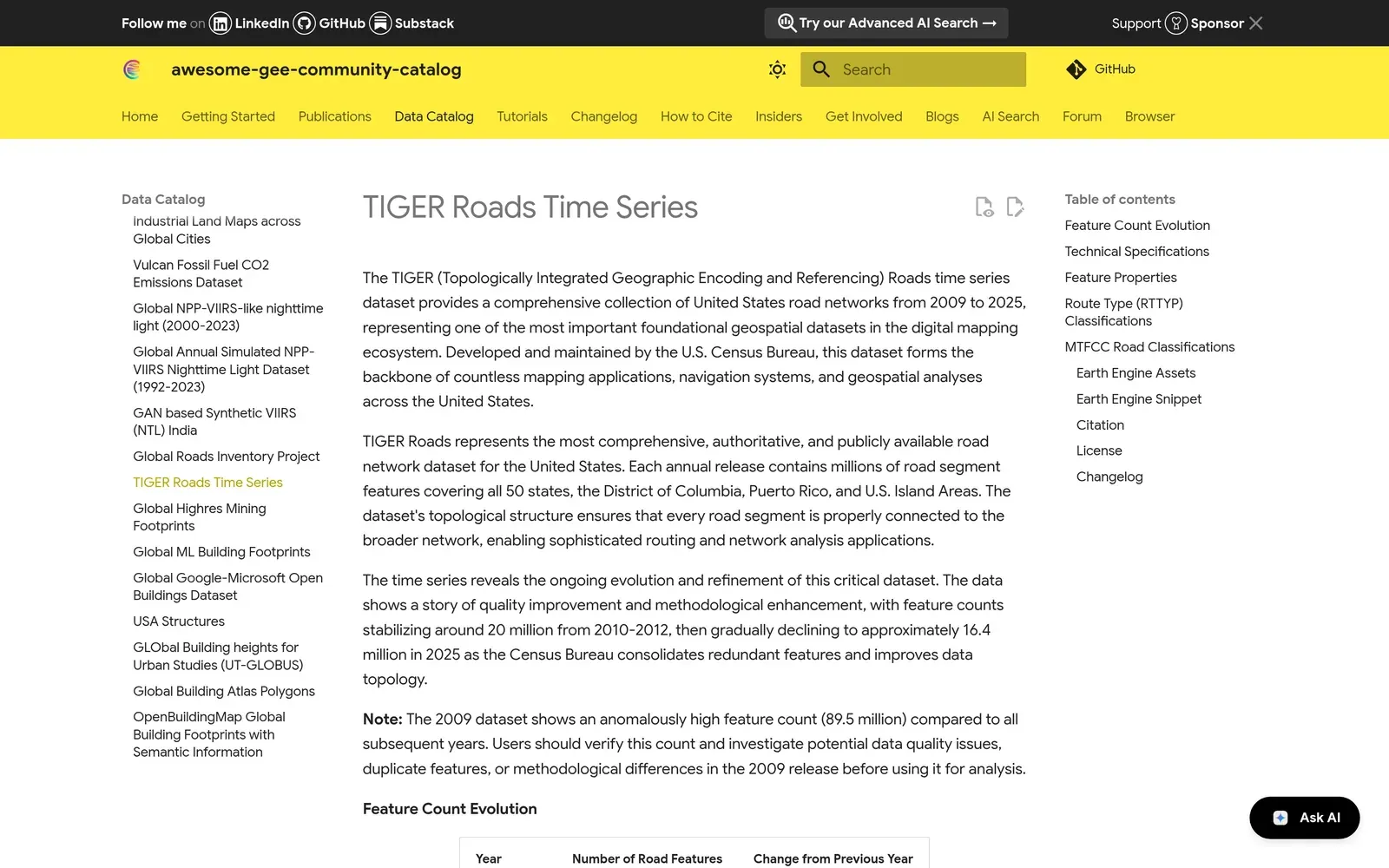
Social-Ecological Systems
Where people and landscapes meet.
Modeling how development, disturbance, and policy reshape land cover, with a focus on wildfire risk in the wildland–urban interface.
Land-Use ChangeWildfire & WUIRisk Assessment
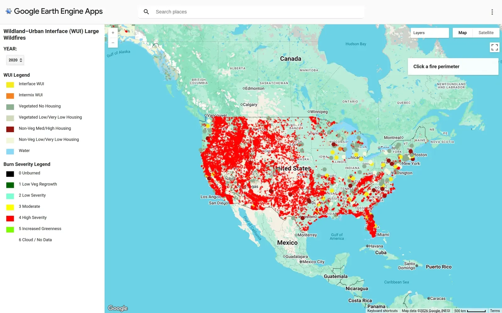
Statistical Modeling
Uncertainty, stated honestly.
Bayesian and spatial-statistical models that quantify what the data actually support, in reproducible pipelines anyone can rerun.
Bayesian AnalysisForecastingReproducible Research
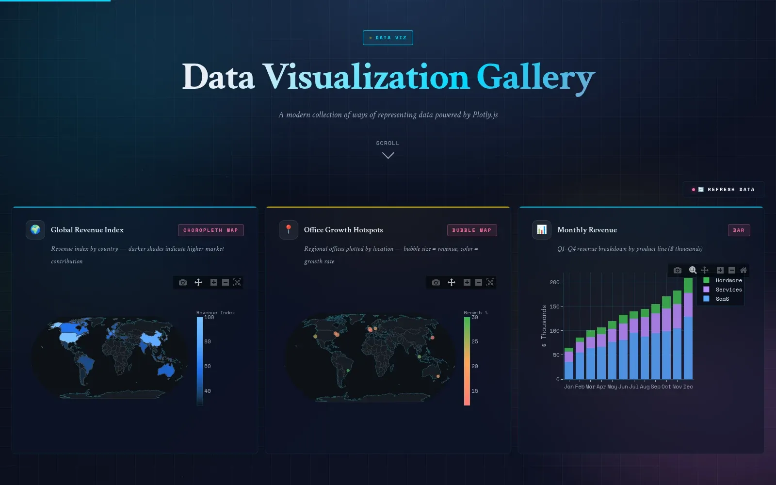
Data Storytelling
Models that reach a decision-maker.
Machine learning applied to ecological and geospatial problems, paired with visualization that makes the result legible to non-specialists.
Machine LearningData VisualizationQuantitative Ecology
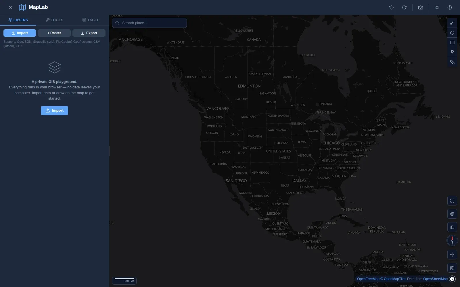
Conservation Monitoring
Mapping what lives where.
Species distribution models and habitat mapping that turn scattered occurrence records into conservation-planning inputs.
Species DistributionHabitat MappingConservation Planning
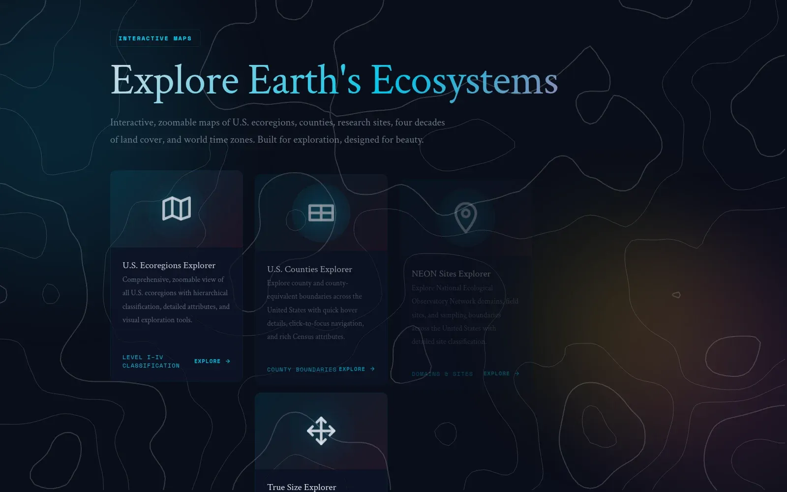
Open Data & Tooling
Infrastructure for spatial work.
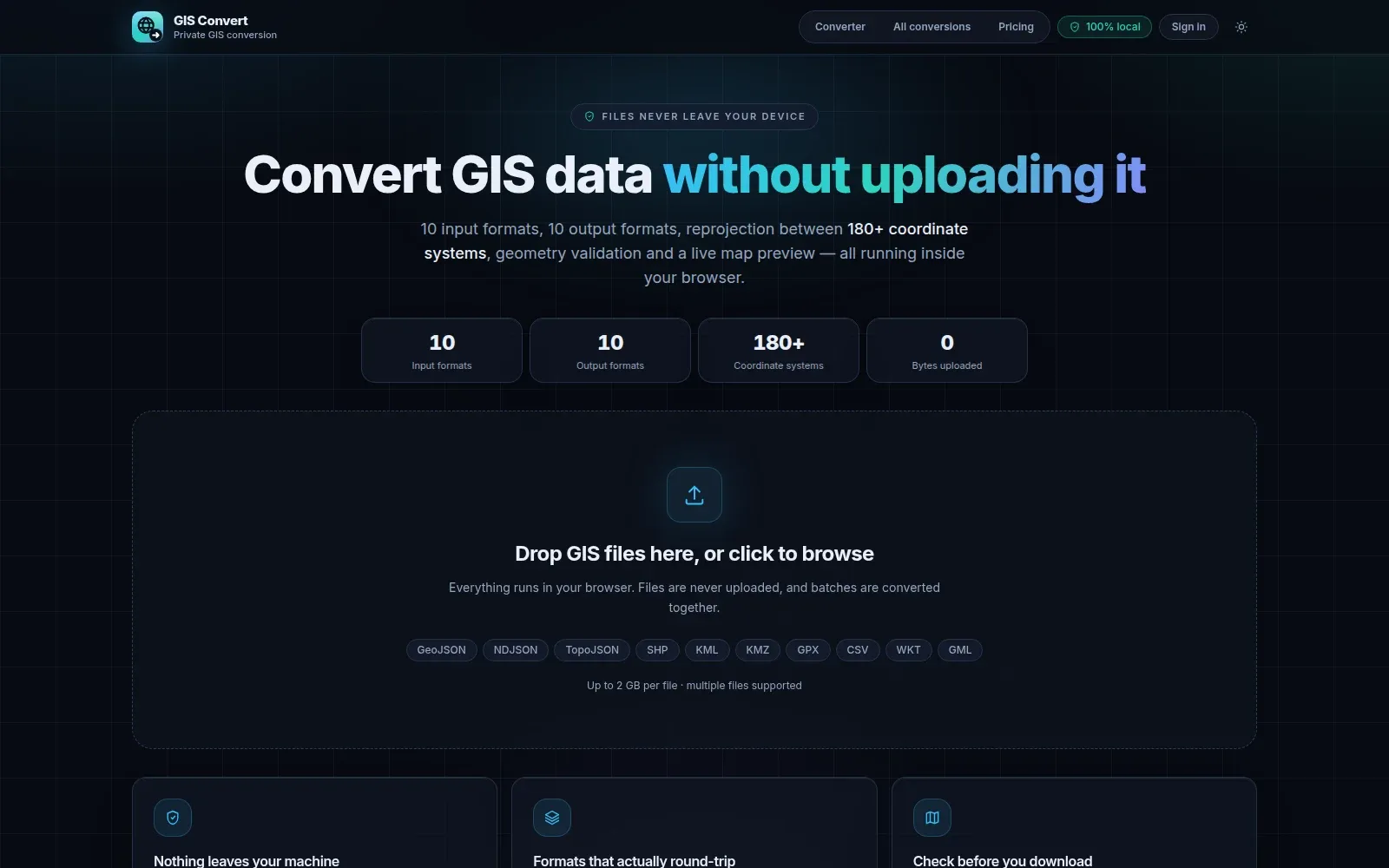
Spatial databases, automated data pipelines, and open-source GIS tooling that keep analysis fast, current, and shareable.
Spatial DatabasesData PipelinesOpen Source GIS
Selected work
Tools, maps & applications.
Publications
Peer-reviewed & in review.
2026
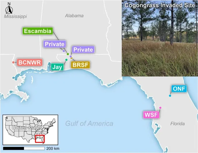
Fueling the fire: predicting cogongrass (Imperata cylindrica) impacts on fire behavior across environmental and seasonal gradients
Ivory II, A. A., Wonkka, C. L., McGranahan, D. A., Akpejeluh, P., Kincy, S., Weidig, N. C., Roberts, C. P., Brock, K. M., Silva, C. A. & Donovan, V. M. · Fire Ecology, vol. 22, no. 1, pp. 119
2026
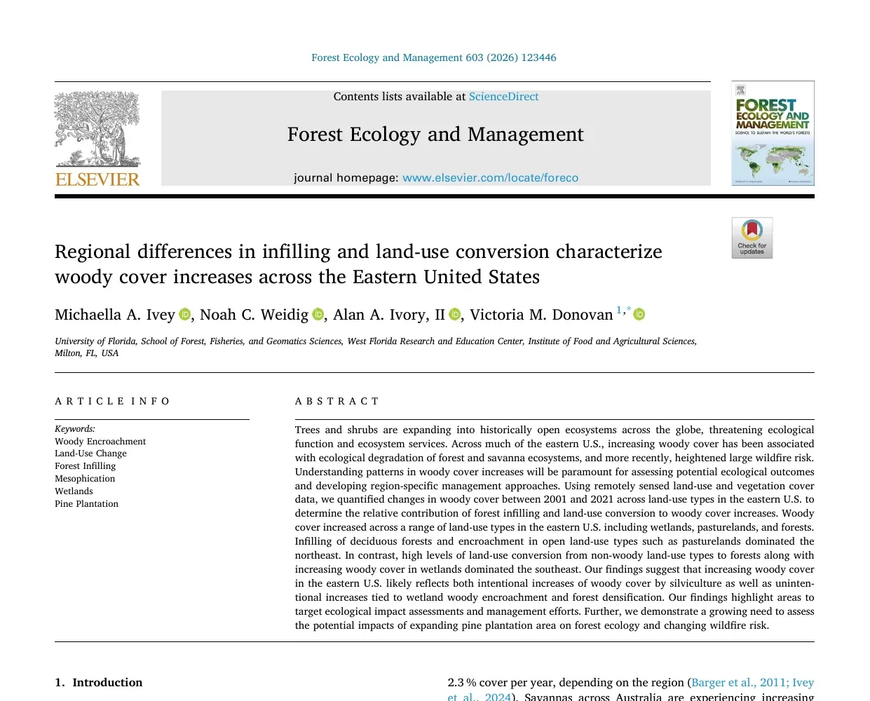
Regional differences in infilling and land-use conversion characterize woody cover increases across the Eastern United States
Ivey, M. A., Weidig, N. C., Ivory II, A. A. & Donovan, V. M. · Forest Ecology and Management, vol. 603, pp. 123446
2024
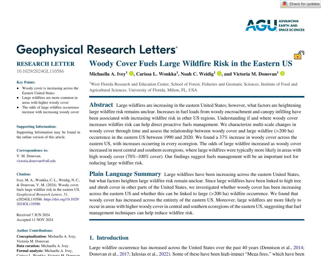
Woody cover fuels large wildfire risk in the eastern US
Ivey, M. A., Wonkka, C. L., Weidig, N. C. & Donovan, V. M. · Geophysical Research Letters, vol. 51, no. e2024GL110586
 9 citations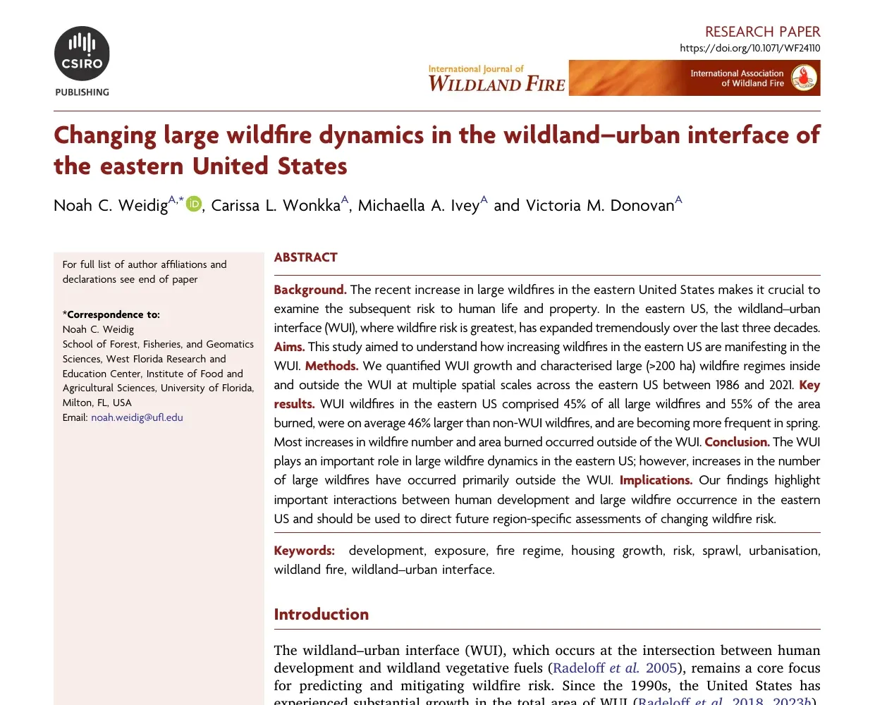
2024
Changing large wildfire dynamics in the wildland–urban interface of the eastern United States
Weidig, N. C., Wonkka, C. L., Ivey, M. A. & Donovan, V. M. · International Journal of Wildland Fire, vol. 33, no. 12
Tech stack
Technologies I use to build things.
- R
- Python
- JavaScript
- SQL
- ArcGIS Pro
- GEE
- QGIS
- GDAL
- Git
- Claude Code
- Codex
- View all 30 tools+19+22All tools
Background
Where I've worked and studied.
Experience
GIS & Remote Sensing Research Associate
University of Florida
Aug 2025 – Present · Milton, FL
Led GIS-based analysis assessing spatial patterns and land-use impacts on community and regional risk management.
Graduate Research Assistant
University of Florida
Aug 2023 – Aug 2025 · Milton, FL
Conducted geospatial analysis to support wildland-urban interface and emergency management decision-making.
Education
Master of Science, Forest Resources & Conservation
University of Florida
Aug 2023 – Aug 2025 · Gainesville, FL
Thesis: Large Wildfire Patterns in the WUI · 4.0 GPA
Bachelor of Science, Biological Sciences
Northern Kentucky University
Aug 2018 – May 2022 · Highland Heights, KY
Ecology, Evolution, & Organismal Track · 4.0 GPA
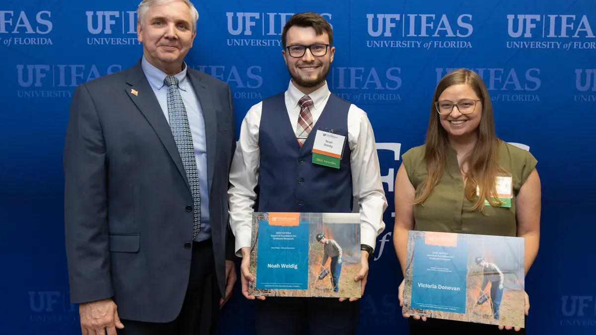
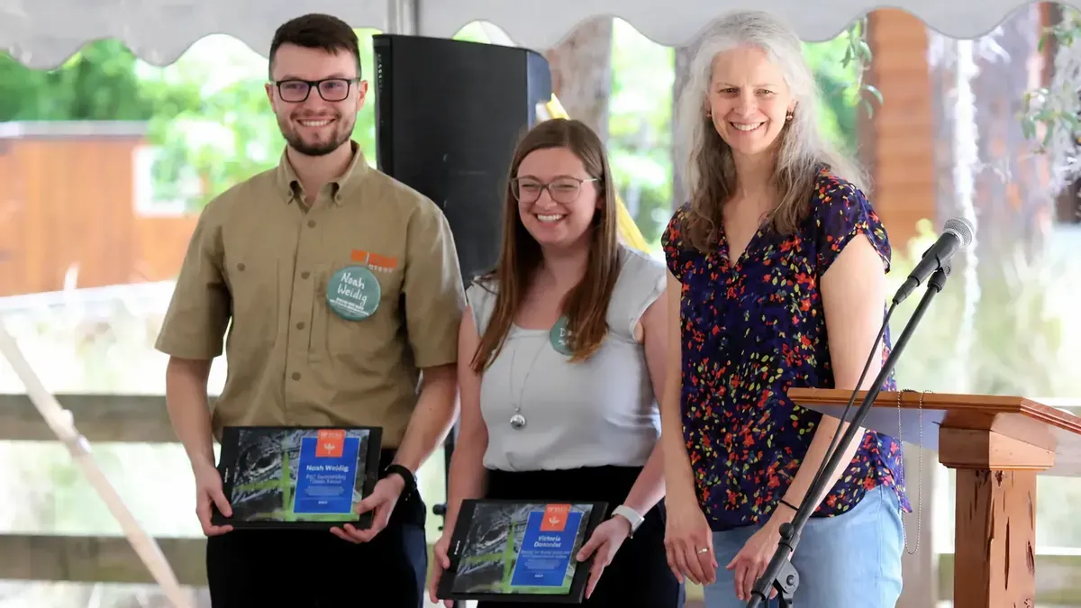
Recognition
Featured awards.

Writing
Notes & tutorials.

Building a Portfolio Website
Creating this site from the ground up and lessons learned along the way — why I chose Astro for a fast, clean portfolio site.

My Favorite R Packages
The R packages I reach for every day: tidyverse, reproducibility utilities, easystats, and ggplot2 extensions.

Focus
Living in a distracted world — strategies for deep work, minimizing noise, and building sustainable research habits when modern workflows constantly fight for your attention.
Open to data science & GIS roles
Let's talk about spatial problems worth solving.
Looking for data scientist and GIS analyst roles where rigorous spatial analysis drives real decisions.
Replies within 24 hours
or email noah@noahweidig.com
FAQ
About my work.
Common questions about collaboration and what I do
What do you do?
I work at the intersection of geospatial analytics, data science, and applied AI — building reproducible workflows that turn spatial and environmental data into decision-ready insights.
What kinds of projects are you interested in?
I'm drawn to work involving remote sensing, land-use change, social-ecological systems, and data storytelling. I especially enjoy projects where rigorous analysis meets clear visual communication.
Are you open to collaboration?
Yes. I'm happy to discuss research collaborations, freelance work, and full-time opportunities in data science or GIS. The best way to start a conversation is through the contact page.
What tools do you typically work with?
Mostly R and Python for analysis and modeling, alongside SQL for data wrangling and a range of GIS tools (ArcGIS Pro, QGIS, GEE, GDAL) for spatial work. See the tech stack section for the full toolkit.
How can I get in touch?
Email is the easiest — you'll find it on the contact page.