MapLab
Mar 24, 2026
·
1 min read
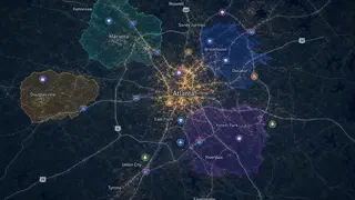
An intuitive mapping tool for performing geospatial analysis without GIS expertise. Upload GeoJSON or shapefiles to create interactive maps and explore spatial relationships.
An intuitive mapping tool for performing geospatial analysis without GIS expertise. Upload GeoJSON or shapefiles to create interactive maps and explore spatial relationships.
